

Backcountry Avalanche Forecast Snoqualmie Pass
Northwest Avalanche Center
www.nwac.us
- Issued
- Sunday, October 11, 2026 - 6:00PM
- Expires
- Monday, October 12, 2026 - 6:00PM
- Author
- Rachel Fryan
The Bottom Line
As Snoqualmie Pass continues to receive large volumes of rain and high elevation snow from an atmospheric river, avalanche danger will remain elevated on Friday. We expect the highest danger in the morning as the atmospheric river event winds down. With such dynamic weather systems and uncertainty in their timing, travel in avalanche terrain is not recommended.
Avalanche Danger
Monday, October 12, 2026
6500-5500ft4 - High
5500-4000ft4 - High
4000-2500ft3 - Considerable
Tuesday, October 13, 2026
- Upper Elevations
6500-5500ft3 - Considerable - Middle Elevations
5500-4000ft3 - Considerable - Lower Elevations
4000-2500ft2 - Moderate
 1 - Low | 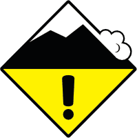 2 - Moderate | 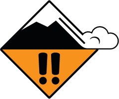 3 - Considerable | 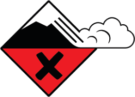 4 - High | 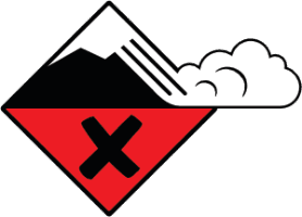 5 - Extreme | |
|---|---|---|---|---|---|
| Travel Advice | Generally safe avalanche conditions. Watch for unstable snow on isolated terrain features. | Heightened avalanche conditions on specific terrain features. Evaluate snow and terrain carefully; identify features of concern. | Dangerous avalanche conditions. Careful snowpack evaluation, cautious route-finding and conservative decision-making essential. | Very dangerous avalanche conditions. Travel in avalanche terrain not recommended. | Extraordinarily dangerous avalanche conditions. Avoid all avalanche terrain. |
| Likelihood of Avalanches | Natural and human-triggered avalanches unlikely. | Natural avalanches unlikely; human-triggered avalanches possible. | Natural avalanches possible; human-triggered avalanches likely. | Natural avalanches likely; human-triggered avalanches very likely. | Natural and human-triggered avalanches certain. |
| Avalanche Size and Distribution | Small avalanches in isolated areas or extreme terrain. | Small avalanches in specific areas; or large avalanches in isolated areas. | Small avalanches in many areas; or large avalanches in specific areas; or very large avalanches in isolated areas. | Large avalanches in many areas; or very large avalanches in specific areas. | Very large avalanches in many areas. |
Avalanche Problems (2)
Problem #1: Storm Slab
Problem Type
Aspect/Elevation
Likelihood
Size
Large natural and human triggered avalanches are expected on Friday near and above treeline, particularly above the average rain line of the storm around 5500 feet where slabs will be much deeper. Strong winds may have deposited snow on leeward slopes creating thicker and more sensitive slabs. Observations on Thursday were limited due to the potency of the storm, but the observations we do have continue to point to a notable avalanche cycle. We are concerned with failures of storm slabs on the 2/4 interface or on the 2/1 crust. Avalanches produced by Alpental Patrol on Wednesday during control work mostly ran on the crust, while some slides failed on weak snow (2/4 interface) before entraining down to the crust. Although we expect natural activity to diminish, the snowpack still needs time to heal from the large volume of water it just received.
Problem #2: Wet Loose
Problem Type
Aspect/Elevation
Likelihood
Size
The lower elevations have already seen a lot of rain the past week and should be well suited to handle more. That said, fluctuating freezing levels have produced snow near and below treeline during this storm at times, and as freezing levels hover around 5000 feet Friday, wet snow avalanches such as Loose Wet, Wet Slab, and Glide may still be in play. Wet avalanches are capable of entraining lots of snow, triggering slabs, and traveling far distances as they descend. Steer around slopes greater than 35 degrees and be aware of terrain above you if you witness rain on snow. Additionally, with rapid loading and warming temperatures, cornice collapses are on our minds. Give cornices a wide berth by not traveling on or below them.
Forecast Discussion
Cooler air behind Thursday's front brought several more inches of snow to the Pass. Storm slabs formed during the warm, wet storm are slowly gaining strength, but remain sensitive to human triggers on wind-loaded slopes near and above treeline. Shooting cracks and recent avalanches are clear signs to stay out of avalanche terrain.
Below treeline, the rain-saturated surface snow is slow to refreeze. Expect wet loose avalanches on steep slopes during any sunny breaks or light rain, and avoid terrain traps where even a small slide could bury you deeply.
Mountain Weather · Afternoon Forecast
- Issued
- Sunday, October 11, 2026 - 2:30PM
- Author
- Rachel Fryan
Tonight
Sun Oct 11Mostly clear with a few high clouds. Cooler with areas of fog and low clouds at Pass level. Light to moderate E-SE Pass and ridgeline winds.
Tomorrow
Mon Oct 12Partly to mostly sunny with periods of high clouds and filtered sunshine. Light and variable winds at Pass level. Light to moderate WSW ridgeline winds.
| Sun Oct 11Night | Mon Oct 12Day | Mon Oct 12Night | Tue Oct 13Day | |
|---|---|---|---|---|
| Snow (in) | 0 | 0 | 0 | 3–5" |
| Snow level (ft) | Eve 11,500' snow level Night 10,500' snow level | AM 9,500' snow level PM 9,000' snow level | Eve 8,000' snow level Night 7,500' snow level | AM 6,500' snow level PM 6,000' snow level |
| 5000' Temperatures (°F) | 43 / 38 | 47 / 40 | No forecast | |
| Ridge wind (mph) | Eve SE15–25Moderate Night SSW5–10Light | AM WSW5–10Light PM WSW10–20Light to Moderate | No forecast | |
Night
- Snow (in)
- 0
- 5000' Temperatures (°F)
- 43 / 38
| Snow level (ft) | Ridge wind (mph) | |
|---|---|---|
| Evening | 11,500' snow level | SE15–25Moderate |
| Night | 10,500' snow level | SSW5–10Light |
Day
- Snow (in)
- 0
- 5000' Temperatures (°F)
- 47 / 40
| Snow level (ft) | Ridge wind (mph) | |
|---|---|---|
| Morning | 9,500' snow level | WSW5–10Light |
| Afternoon | 9,000' snow level | WSW10–20Light to Moderate |
Night
- Snow (in)
- 0
- 5000' Temperatures (°F)
- No forecast
| Snow level (ft) | ||
|---|---|---|
| Evening | 8,000' snow level | |
| Night | 7,500' snow level |
Day
- Snow (in)
- 3–5"
- 5000' Temperatures (°F)
- No forecast
| Snow level (ft) | ||
|---|---|---|
| Morning | 6,500' snow level | |
| Afternoon | 6,000' snow level |
SnowT–2", 1–7", 5–16", 12"+Snow level; none, freezing level<2,000', 2,000', 3,000', 4,000', 5,000', 6,000', 7,000', 8,000', 9,000', 10,000'+
This information is provided by the U.S.D.A. Forest Service and describes general backcountry avalanche hazard and conditions.
It does not apply to ski areas and highways where avalanche mitigation is conducted.